

In 1965 Ghana started a project to dam the Volta river and generate hydro electricity, and Lake Volta was born. It’s the largest man-made lake in the world, by surface area, and now produces electricity and provides water, fish and transportation to much of central and eastern Ghana. It displaced nearly 80,000 when the upper reaches of the river valley were flooded, and isolated a region called the Afram Plains, now cut off from the Volta region by the lake to the east and to the rest of northern Ghana by a large desert-like bush area to the north.
Any place isolated usually features fairly prominently on my list of spots to visit, so I came up with a plan to cross the Lake Volta twice, once east-west from the direction of Hohoe, and then north-south after crossing the Afram Plains over the course of a few days. It’s an unusual way moving west from the Volta region, simply because it’s a long way out of the way across an underdeveloped, dusty rural area.
The southern half of Lake Volta is shaped somewhat like Great Britain in a giant reverse letter “L”. My first crossing was east to west across, let’s say, northern Scotland, and my second crossing was north-south between Bristol and Bournemouth (go look it up in an atlas if you don’t believe me).
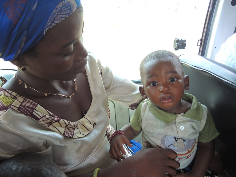
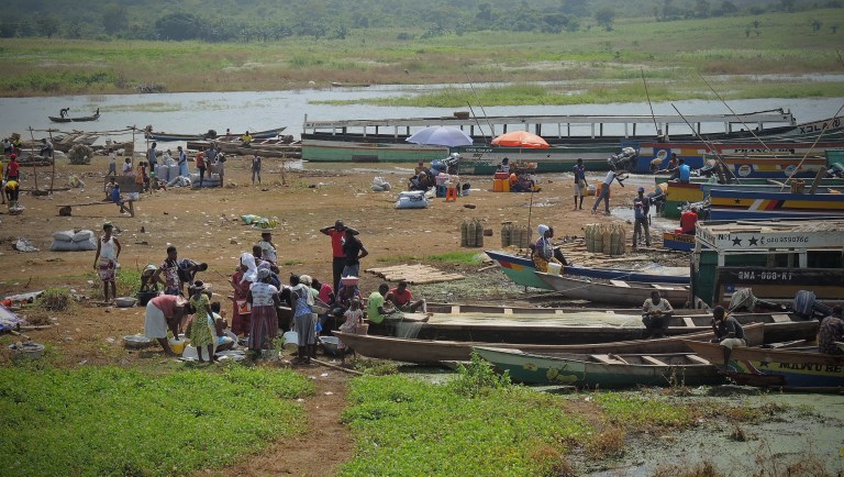
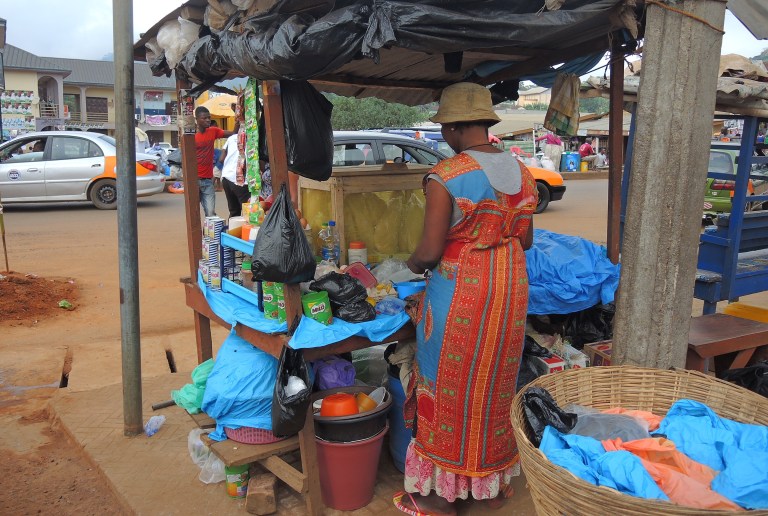
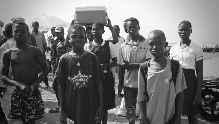
The lake is crossed by ferry or small fishing boat. I was advised by several people NOT to take the fishing boats, as they’re apparently dangerous, though the “ferries” didn’t look much safer truth be told, just large rusty flat bottomed barges. In any case it was a very, very long wait at both crossings. Ghanians, like most Africans, are patient and have long learned not to fuss about things they can’t do anything about, so I adopted the same attitude and killed time wandering around between the fishing boats and stalls that sold dried fish, cold drinks, clothing and pots & pans.
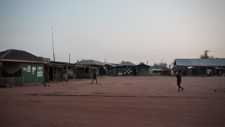
The Afram Plains is considered an underdeveloped region by the Ghanian government, which is saying something. The towns in the region are really interesting, though they are dusty, basic and poor. In what can only be considered gross irony, electricity supply to the region is very intermitent (read: the electricity is off more than on) despite the fact that the very reason the good people of Afram are isolated and underdeveloped is because a huge electricity-producing hydroelectric plant was located just down the road.
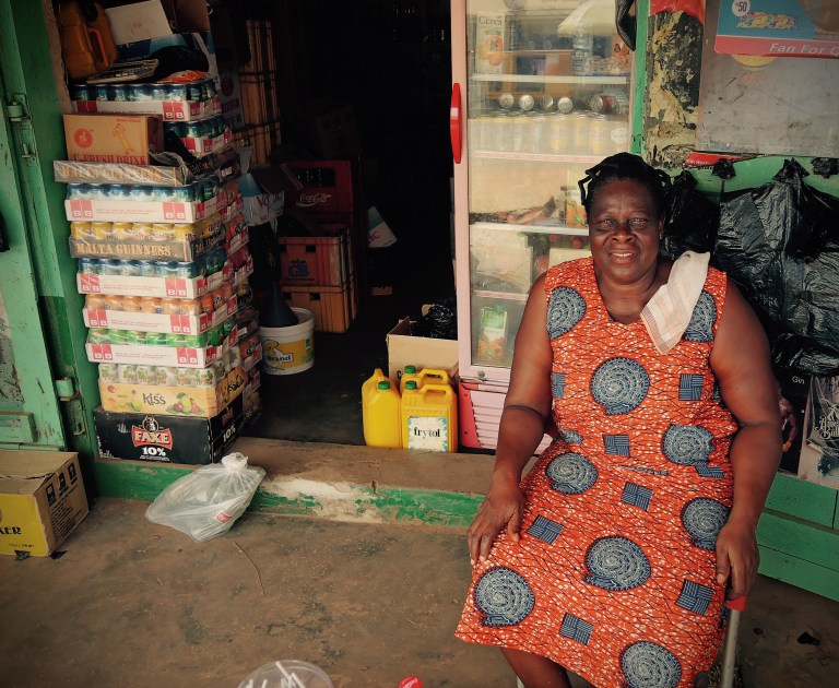
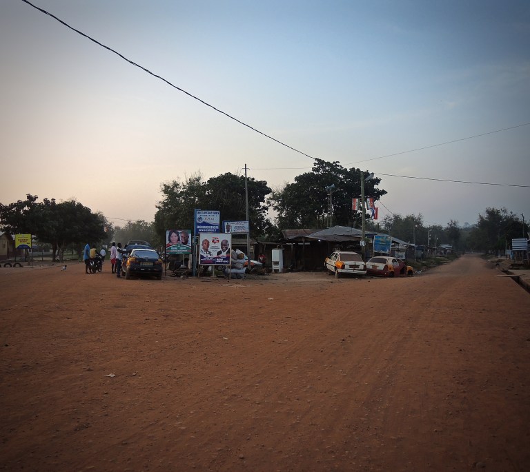
The district capital Donkorkrom is extremely atmospheric with stuck-in-the-middle-of-nowhere frontier feel to it. None of the streets of the town are paved so everything is covered in dust. The people are very friendly though, and I had a good time chatting with locals over a beer at St. Michael’s hotel where I found a cheap but clean room for the night (no electricity).
A few days later I left Donkorkrom. I waited an hour for a minivan to fill up and take me across the Afram Plains to Ekyia where there is another ferry going back across Lake Volta (Bristol to Bournemouth), to the town of Adawso back on the “mainland”. No one had any clear idea when the ferry would arrive, and it turned out to be a very long, dull four hour wait in Ekyia – where there’s NOTHING. The ride across the water took only 15 minutes or so, which was very anticlimactic after such a long wait.
A grabbed a minivan to Mpraeso, in the Kwahu district, along a road that wound beside Lake Volta and then climbed up the Kwahu plateau. At 367 meters it’s one of the highest towns in the country. There was no noticeable change in the hot humid weather though.
From Mpraeso I dropped back to the plains in an over-filled minivan, rattling down over a dramatic corkscrew road (one woman placed a burlap bag filled with several chickens at my feet. I didn’t notice she’d done it and at one point during the journey I reached down to loosen my shoelaces and put my hand on soft, feathery flesh, scaring me into next Tuesday).
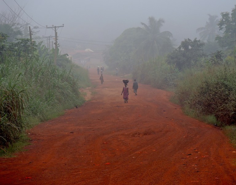
Then onto the Ashanti region. I’ll cover this fascinating region in next week’s post (I know you’ll be counting the days), but suffice to say it’s a wonderfully lush, rich region, densely populated with red earth roads, villages and beautiful soft forests.
Over the next weeks I traveled through the Ashanti region north to the border with Burkina Faso, then all the way back down.
Stay tuned!
Discover more from The Plain Road
Subscribe to get the latest posts sent to your email.

Beautiful content.
LikeLike
Keep them coming! Love them 😀
LikeLike
Really fascinating, Andrew!
LikeLike
Also you don’t want to write damn the Volta but rather dam the Volta. Right? me xo
________________________________
LikeLike
Well after a whole week of waiting this is not very satisfying – sort of like waiting for a ferry for four hours for a 15 minute ride!!
But I know that NEXT week’s post about the Ashanti region will be full of color and texture and anecdotes and Ashanti poetry so for sure it’ll be worth the wait(???).
LikeLike